
In this update3
Full notes
Full National Transit update
Read the full published notes in a cleaner layout. The original post stays linked below.
What changed
- Server
- Gameplay
- Maps
- Performance
National Transit changes
Building your network just got faster and far more precise — and you can put names for seas, bays, rivers and mountains on the map now.
Smarter Road & Rail Building
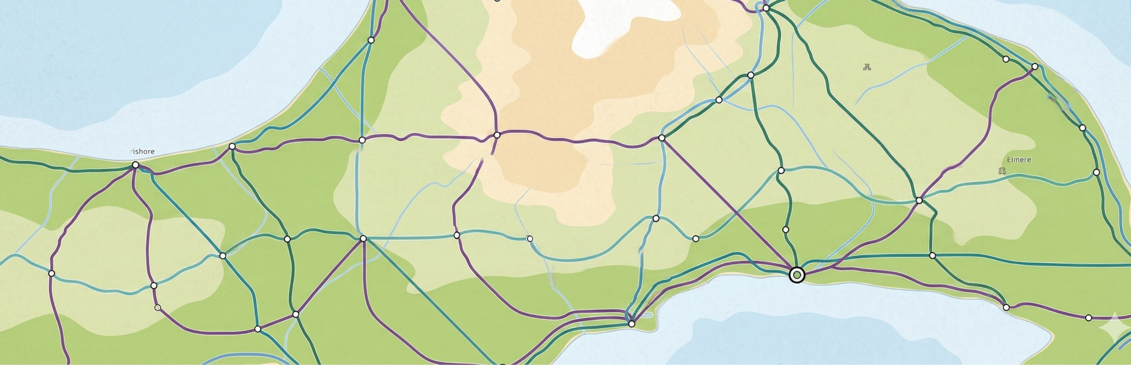
Drag city → city to connect, then pick Road or Rail — endpoints are filled in for you. (It is no longer necessary to click the name labels)
Click the city marker itself (it highlights on hover) instead of aiming at the tiny name.
Shape the route by hand: grab the line or its anchor points and drag. Editing one anchor only re-routes nearby — the rest stays put.
Drag an anchor onto a neighbour to delete it; curves stay smooth.
Cross water freely — roads/railways bridge automatically (up to 55 km per span).
Bridge or Tunnel: choose per crossing. Tunnels cost more and are drawn dashed beneath the water.
Press Enter to confirm the build. Same flow for roads and railways.
Guide: Smarter Road & Rail Building - Faster to lay, finer to shape
Place Names — turn your nation into a map
New Place Names layer (bottom toolbar): drop labels anywhere — seas, rivers, mountains, regions.
Style each name like a real atlas: drag to move, rotate, spread the letters, and resize.
Water / Mountain / Land style presets; double-click to rename. Saved with your game.
Guide: Place Names — Name Your World
Also in this update
- Map labels respect rankcapital and province capitals always show largest, with a new Label Size setting.
Much faster route-finding for long routes and wide water crossings.
Built-in diagnostics: copy/export a report from Settings if you ever hit a crash or stutter.
Thanks for playing — and keep the feedback coming. A lot of v0.1.4 came straight from your suggestions.
Source
Changelog.gg summarizes and formats this update. How we read updates.